About the Project
This project involves designing and implementing a spatial data infrastructure (SDI) system for a large organization with offices distributed across multiple geographic locations. The goal is to improve their data storage, sharing, and processing capabilities by establishing a comprehensive SDI.
As part of this, a web GeoPortal was developed to demonstrate the functionality of the spatial data infrastructure design. This includes establishing a Geo-Database containing sufficient spatial data for the system, creating a data clearinghouse to enable metadata-driven searching, and developing web mapping services (WMS) and web feature services (WFS) to present and interact with GIS data. The project focuses specifically on Cape Town as the study area, using the Chief Directorate: National Geo-spatial Information (CDNGI) as the case study.
The web portal connects the Geo-Database, metadata clearinghouse, and web services, providing an integrated platform for spatial data access and management tailored to the organization’s needs.
To view the process on how the Geoportal was created, click here.
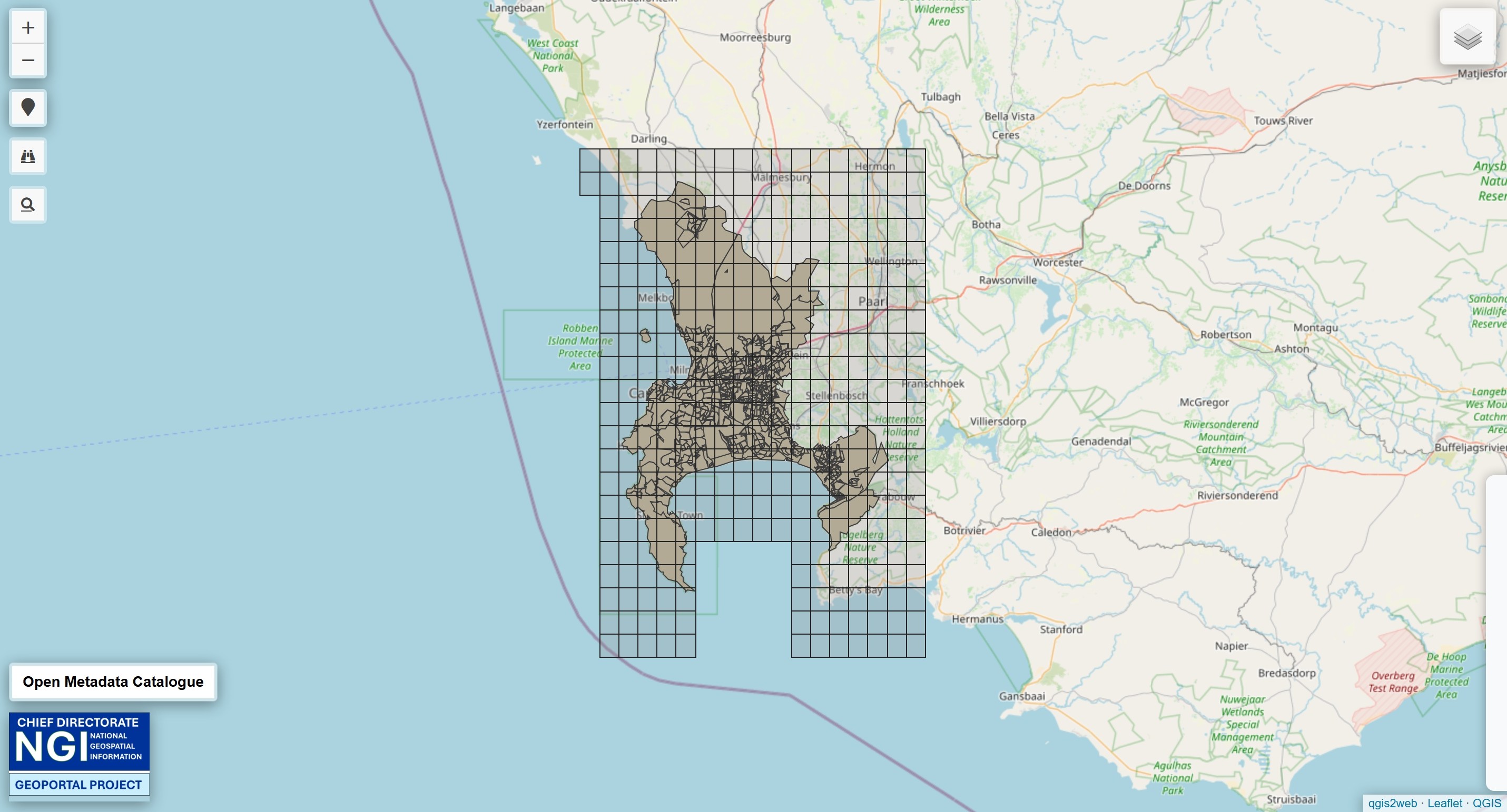
Above is a snapshot of the interactive map, click here to access.