What We Provide
The CDNGI Geoportal provides users with centralized access to spatial data resources focused on the Cape Town area. It features an interactive web map that allows users to visually explore available datasets and engage with geospatial layers such as aerial imagery, elevation models, cadastral boundaries, and geodetic control points.
The portal also includes a metadata catalogue, which serves as a searchable data clearinghouse. Within the catalogue, users can view detailed metadata for each dataset, access Web Feature Services (WFS) and Web Mapping Services (WMS) links for direct GIS integration, and download files directly for certain datasets. This setup supports both interactive visualization and practical use of spatial data in desktop GIS applications.
The geoportal is built to enhance data discoverability, accessibility, and usability—key goals in the implementation of spatial data infrastructures.
The web portal connects the Geo-Database, metadata clearinghouse, and web services, providing an integrated platform for spatial data access and management tailored to the organization’s needs.
To view the process on how the Geoportal was created, click here.
Below are a few snapshots of some datasets we provide
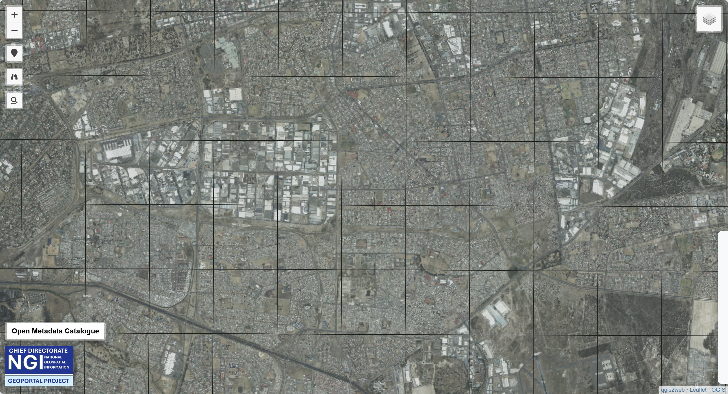
Aerial Imagery
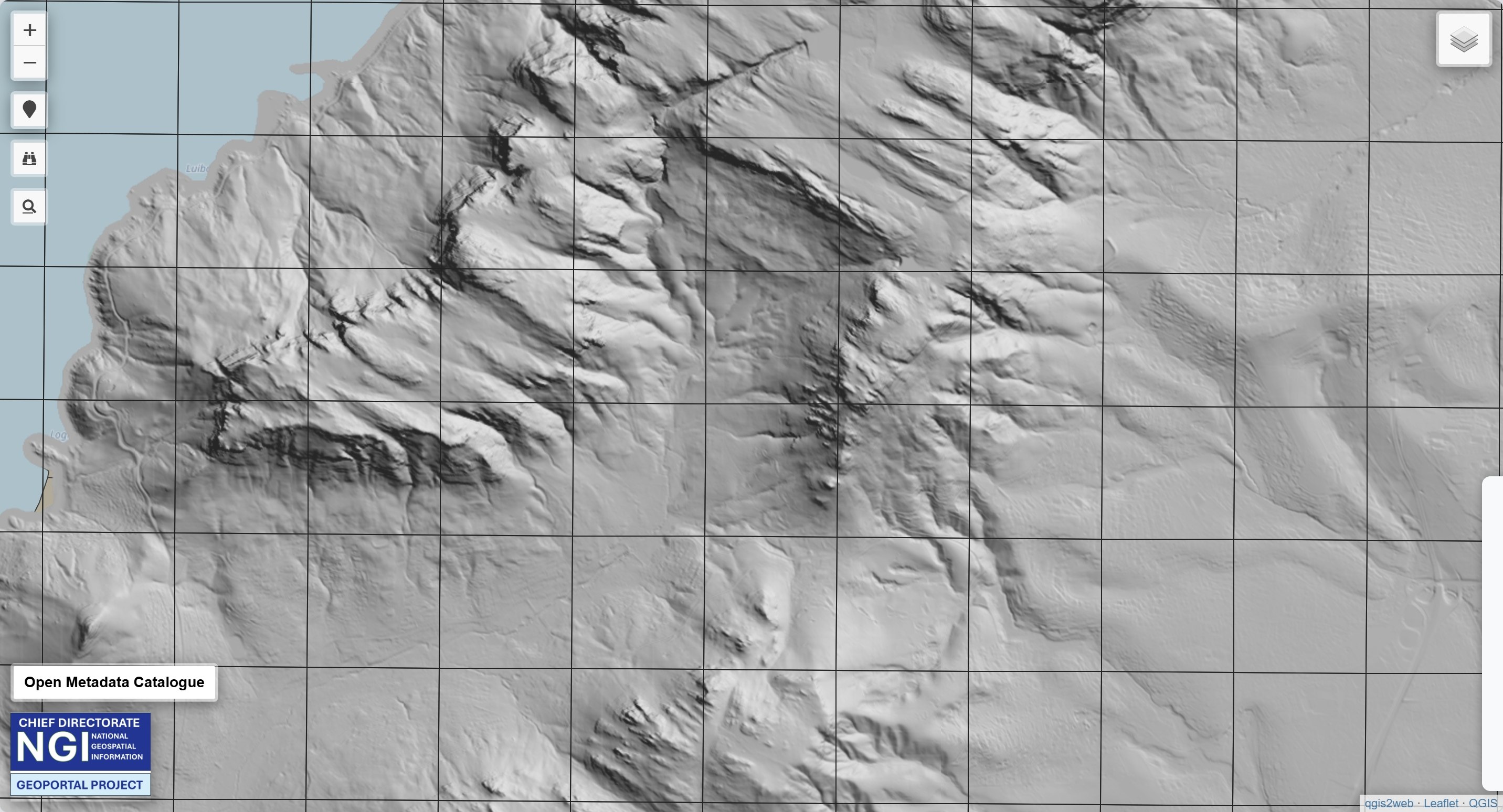
Digital Elevation Model (DEM)

Topological Maps
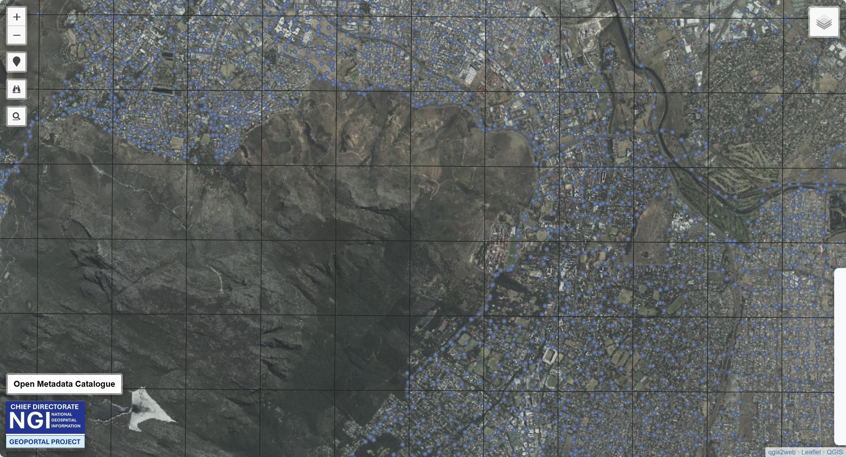
Town Survey Marks (TSM)

Land Cover Classification Maps
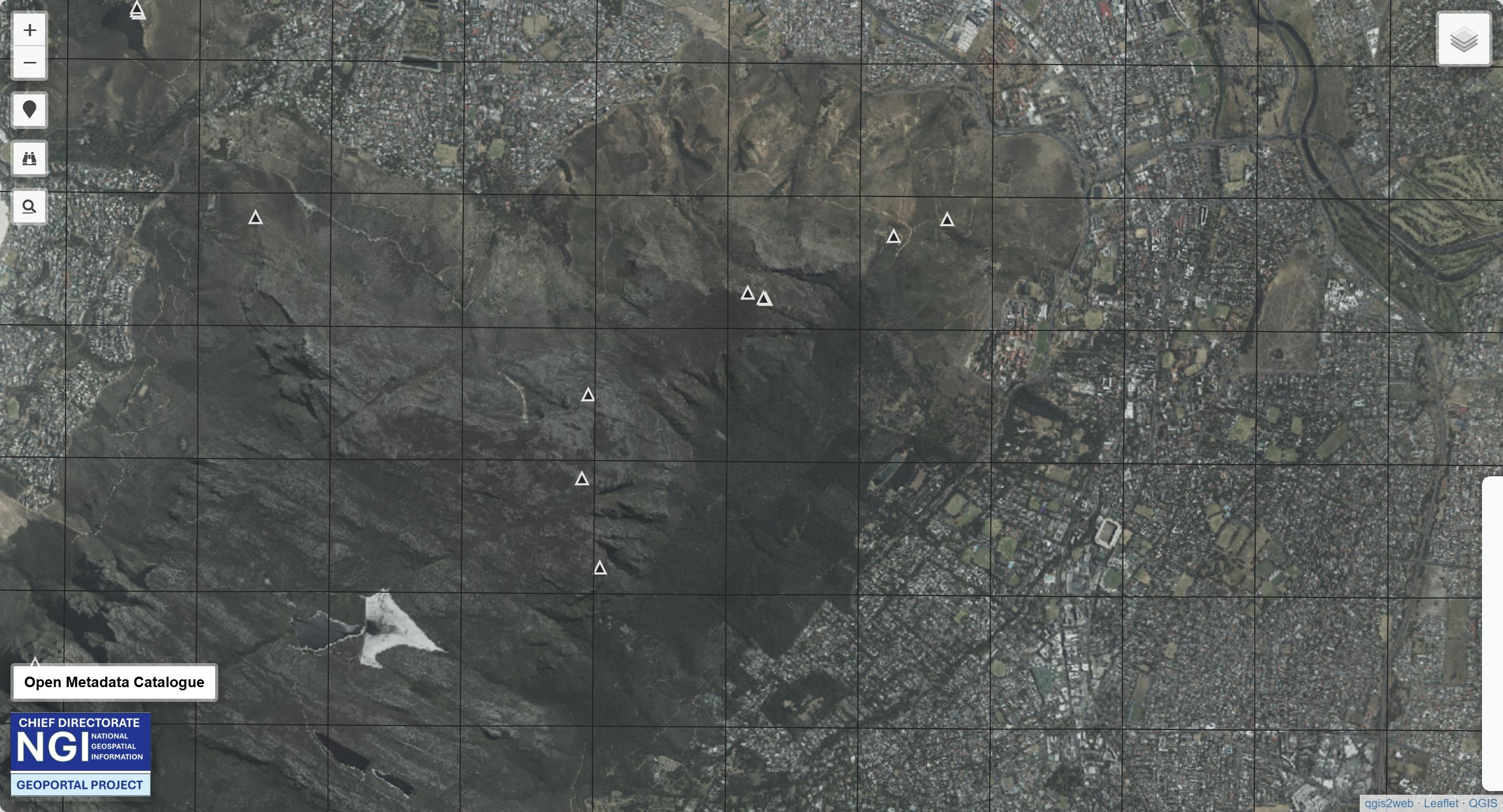
Trigonometric Beacons
To View more Datasets, Access the Interactive Map here.